The impact was calculated where the gage is

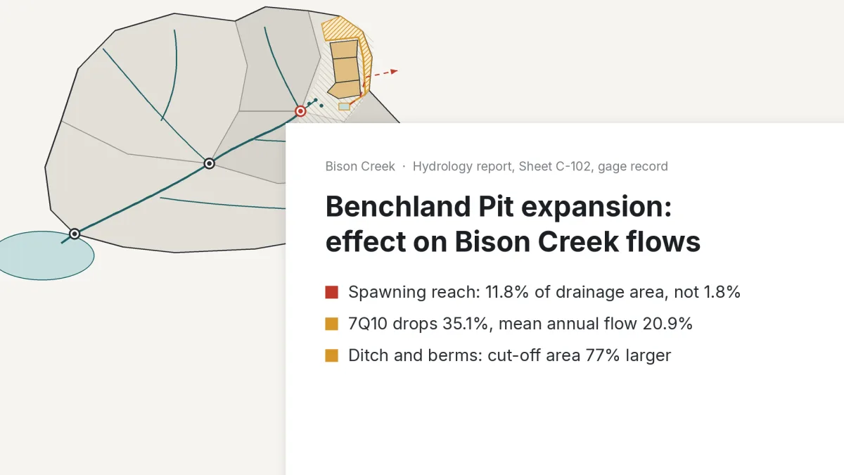
Anyone who has read a hydrology report for a pit permit knows this. The flow reduction is calculated at the gage, where the record is. The reach that matters sits upstream with a fraction of the catchment, and the agency asks about it once the application is in.
One case on our Try page: a gravel pit expanding beside a trout creek. The report put the pit's share of the drainage area at 1.8%, at the gage. Yesper ran it at the spawning reach: 11.8%. And the pit sits in the gravel that feeds the springs, so low flow there drops far more.
The spawning reach gets its own row before the application goes in, not when the agency asks. A smaller pit gets weighed while the phasing can still move. Same for a detention pond from the plat or the impact tables for an EA.
Get news and articles in your inbox.
Yesper is the AI civil engineer for construction and infrastructure. AFRY, COWI, NRC Group and other Nordic firms use it to halve the time on a study, rerun calculations in minutes, and catch errors that would otherwise slip through. Get in touch if you'd like to see what it can do for you.
Book demo