The floor elevations were set on the old flood map

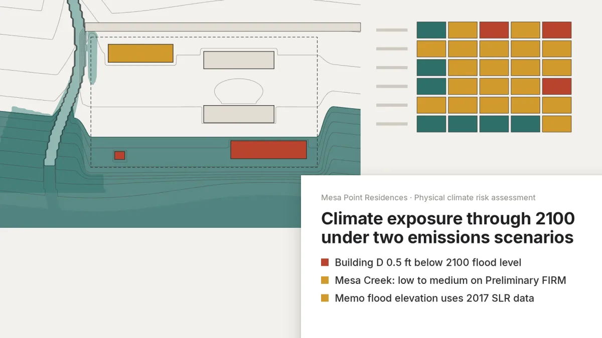
Anyone doing climate risk assessments knows this. The floor elevations were set on a resilience memo from schematic design, and the flood map and sea level scenarios have changed since. Nobody has the hours to reopen the memo.
One case on our Try page: a physical climate risk assessment for an IFRS S2 disclosure. Yesper rated each building and logged every value with its version. Building D sits 0.5 ft below the 2100 flood elevation under higher emissions, and the creek went from low to medium on a flood map the memo never saw.
Whether to raise a floor gets settled while the grading plan can still move, before the disclosure. A superseded dataset is a row in the log, not an audit finding. Same for the rest of the Try page: a detention pond from the plat, rating criteria for an EA, a remediation completion report.
Get news and articles in your inbox.
Yesper is the AI civil engineer for construction and infrastructure. AFRY, COWI, NRC Group and other Nordic firms use it to halve the time on a study, rerun calculations in minutes, and catch errors that would otherwise slip through. Get in touch if you'd like to see what it can do for you.
Book demo