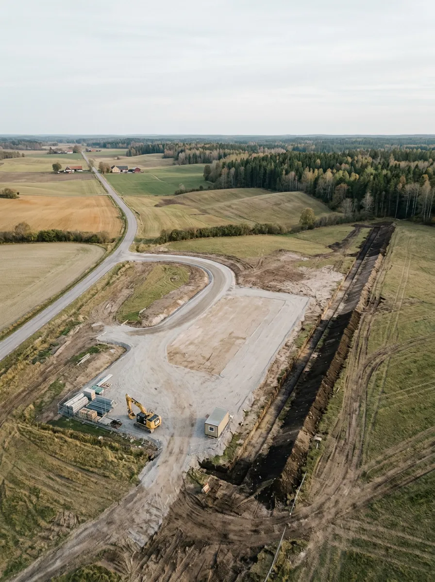
The Geological Survey of Sweden can tell you what bedrock sits under any point in the country. Naturvårdsverket maps every protected area down to the polygon. Both publish their data openly, and none of it is usable by an AI system out of the box. So we built the missing layer.
The question
Infrastructure review in the Nordics keeps returning to one question: what is actually at this location? A railway plan crosses a groundwater reserve or it does not. An inspection remark sits in soft clay or on granite. A work site borders a Natura 2000 area or has a comfortable margin. Almost every document a reviewer touches, from tender documents to inspection protocols, turns into a geography question sooner or later. The answer decides which rules apply: the same remark triggers one procedure inside a water protection area and another a kilometre away.
Sweden answers that question better than most countries. SGU, the Geological Survey of Sweden, made all of its geological data openly available in June 2024 under the EU rules on high-value datasets. Naturvårdsverket, the environmental protection agency, publishes every national park, nature reserve and Natura 2000 area in the country, browsable in its map service Skyddad natur. The data is excellent. The affordances for machines that reason in language are zero: WMS layers, shapefiles and map viewers built for a human with GIS software, in the SWEREF 99 TM coordinate system, with no way for a language model to ask a question and get an answer it can cite.
The affordances
MCP, the Model Context Protocol, is an open standard for connecting AI systems to external sources: a server exposes a small set of tools that any capable model can call. We wrapped SGU's geological APIs in one MCP server and Naturvårdsverket's protected-area registers in another, and deployed both.
| Agency | What the server covers |
|---|---|
| SGU, the Geological Survey of Sweden | Bedrock and soil geology: point lookup, rendered map extracts |
| Naturvårdsverket, the environmental protection agency | Protected areas: lookup, search, detail, extent |
The servers handle what the agencies reasonably leave to their users: coordinate transformation between WGS84 and SWEREF 99 TM, matching points against polygons, rendering map extracts a model can look at. On top of each server sits a thin specialist agent that knows one agency's data and its quirks. The pattern is standardised enough that scaffolding an agent for the next agency takes minutes, not weeks. Thin is deliberate: the agent adds routing and interpretation, while the server stays a faithful window onto the agency's own data.
The data layer was never the hard part; the agencies had already done that. The hard part is the integration into the review work on top.
The payoff
Railway inspection remarks arrive as Excel files, and the location column does not contain coordinates. It contains the railway's own notation: a line section, in Swedish a bandel, and a kilometre-plus-metre position along it. "Km 421+365 on bandel 232" is a precise place, but only if you can convert track kilometres into geometry.
Our import pipeline can. Each remark is parsed, stored and enriched through the geodata handlers: railway notation becomes geometry, and the geometry is matched against geological layers and protected-area polygons through the same MCP servers. By the time a reviewer opens the remark, the system already knows there is a Natura 2000 area 40 metres away.
Done by hand, that is one engineer, three map viewers and a coordinate converter, for every remark. A maintenance contract carries hundreds of them. The enrichment runs at import, before anyone has asked.
Why it compounds
A general-purpose copilot knows what a Natura 2000 area is. It does not know where one is, and it has no way to find out. Deep integration into national data sources is slow, country-specific work: one agency, one coordinate system, one notation quirk at a time. It never shows up on a feature-comparison slide, which is exactly why it accumulates. Each agency integrated makes the next one cheaper to add, and everything built on top inherits the coverage.
The agencies did their part long ago: they collected the data, quality-assured it and published it openly. What was missing was the layer that lets machines use it. Yesper is the AI civil engineer for construction and infrastructure, and teaching it to read Swedish geodata is work that no longer has to be repeated. We built and run the SGU and Naturvårdsverket servers for our own review work; if you want access to them, get in touch.
Yesper is the AI civil engineer for construction and infrastructure. AFRY, COWI, NRC Group and other Nordic firms use it to halve the time on a study, rerun calculations in minutes, and catch errors that would otherwise slip through. Get in touch if you'd like to see what it can do for you.
Book demoRelated